

Glaciers and Moraines of the Mount Cook Region, New Zealand
Field Excursion of the NOAA Panel on Abrupt Climate Change
January 2002
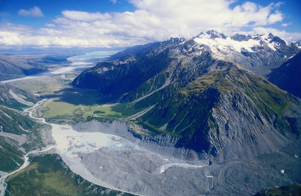
The Mueller Glacier (covered by debris, foreground) is collapsing rapidly like most glaciers around the world;
clearly visible is the moraine marking its extent in the late 19th Century. In the background Lake Pukaki.
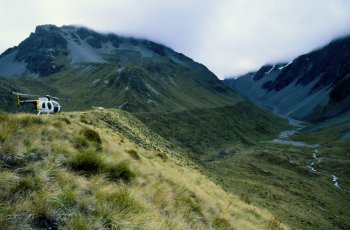 Helicopters parked on a glacial moraine terrace running along the side of Whale Stream valley |
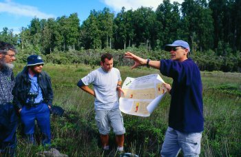 Rewi Newnham explains pollen records obtained by drilling in Big Pakihi bog, Okarito (listening: Chris Hendy, Richard Alley, Markus Vandergoes) |
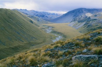 Another beautiful glacier valley; the smooth slope on the left is a moraine left behind by a massive glacier |
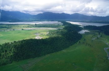 The dark curvy ridge running across the picture is the Waiho Loop moraine, dated to originate from the Younger Dryas cold event |
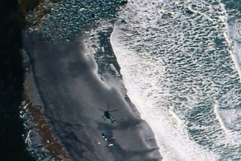
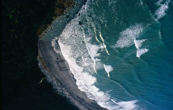 Waiho beach, a typical New Zealand West Coast beach (Spot the helicopter... click to see enlarged section) |
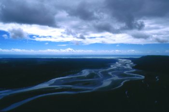
Braided rivers are typical for the high-erosion environment of the New Zealand alps |


