 
 All
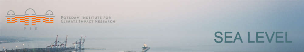
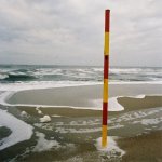
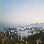
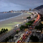
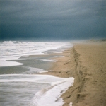
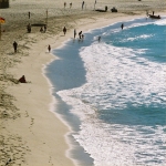
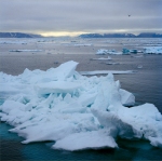
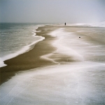
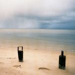
fotos © S. Rahmstorf All
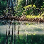
fotos © S. Rahmstorf |
Welcome to the sea level pages of PIK We love the sea and the coast. And we want to better understand the interplay of sea level, climate and coasts, as part of our integrated Earth system science. The Potsdam Institute is home to one of the world's leading sea level science groups. Our research is publically funded and the insights should be of use to all. On these pages we thus provide comprehensive information about our sea level research. You will not only find the results, scientific papers and popular articles, but also input data and computer codes which allow colleagues to reproduce our calculations, verify them or develop them further.
Research Areas Sea level in Earth's history. At the height of the last Ice Age huge ice sheets covered the northern continents. When the Ice Age came to a close, global temperature rose by 5 ºC and two thirds of the ice melted. Sea level rose by 120 meters - a rise that only came to a close around 4,000 years ago. The remaining third of the ice is still around today on Greenland and Antarctica - enough to raise global sea level by a further 60 meters. With our climate models we simulate complete glacial cycles and the waxing and waning of the ice. Together with US colleagues we work towards reconstructing sea level changes over the past millennia from proxy data. Projections of future sea level rise. In our research group the "semi-empirical method" was developed to estimate future sea level rise following from a specified global warming scenario. This method uses a simple, physics-based relationship between global temperature and sea level, which is calibrated using data from the past. In addition we work on regional sea level projections which take into account regional differences in sea level rise, caused e.g. by the gravity effect of shrinking ice sheets. Ocean currents and thermal expansion. We work with global ocean circulation models to understand issues like the thermal expansion of ocean waters due to global warming or the effect of changing ocean currents on regional sea levels. Dynamics of continental ice masses. Together with the University of Alaska, PIK develops the Parallel Ice Sheet Model (PISM), an innovative computer model of continental ice sheet dynamics. We use this model to study the stability of the Antarctic ice sheet. In addition we have coupled the ice model Sicopolis to our Earth System model CLIMBER-2 to study the stability of the Greenland ice sheet in past and future climate changes. Coastal impacts. Jointly with the European Climate Forum and the universities of Kiel and Southampton we are developing the integrated model DIVA. DIVA is a global model to estimate impacts of sea level rise on all coastal nations as well as the costs and benefits of possible adaptation measures. The model covers a multitude of social, ecological and economic effects, e.g. beach erosion, inundation of coasts, storm surge damages, migration of affected people, changes in coastal ecosystems and the penetration of salt water into the lower reaches of rivers.
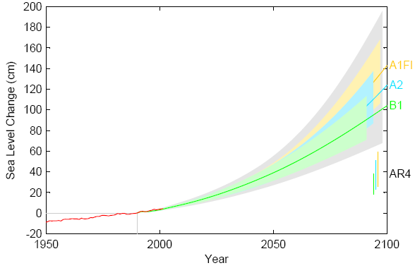
Our current global sea level projections
Future sea level rise primarily depends on our future greenhouse gas emissions. Depending on the emissions scenario (B1, A2, A1FI) our semi-empirical estimates (central estimates published 2009) range between ca. 1.0 and 1.4 meters for the period 1990-2100. This is significantly more than corresponding estimates of the 2007 IPCC report ("AR4") based on process-based models. The red line shows tide gauge data (Church & White 2006). Graph taken from Vermeer & Rahmstorf 2009. Data download here.
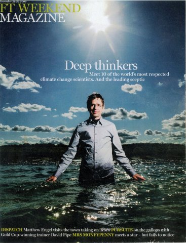
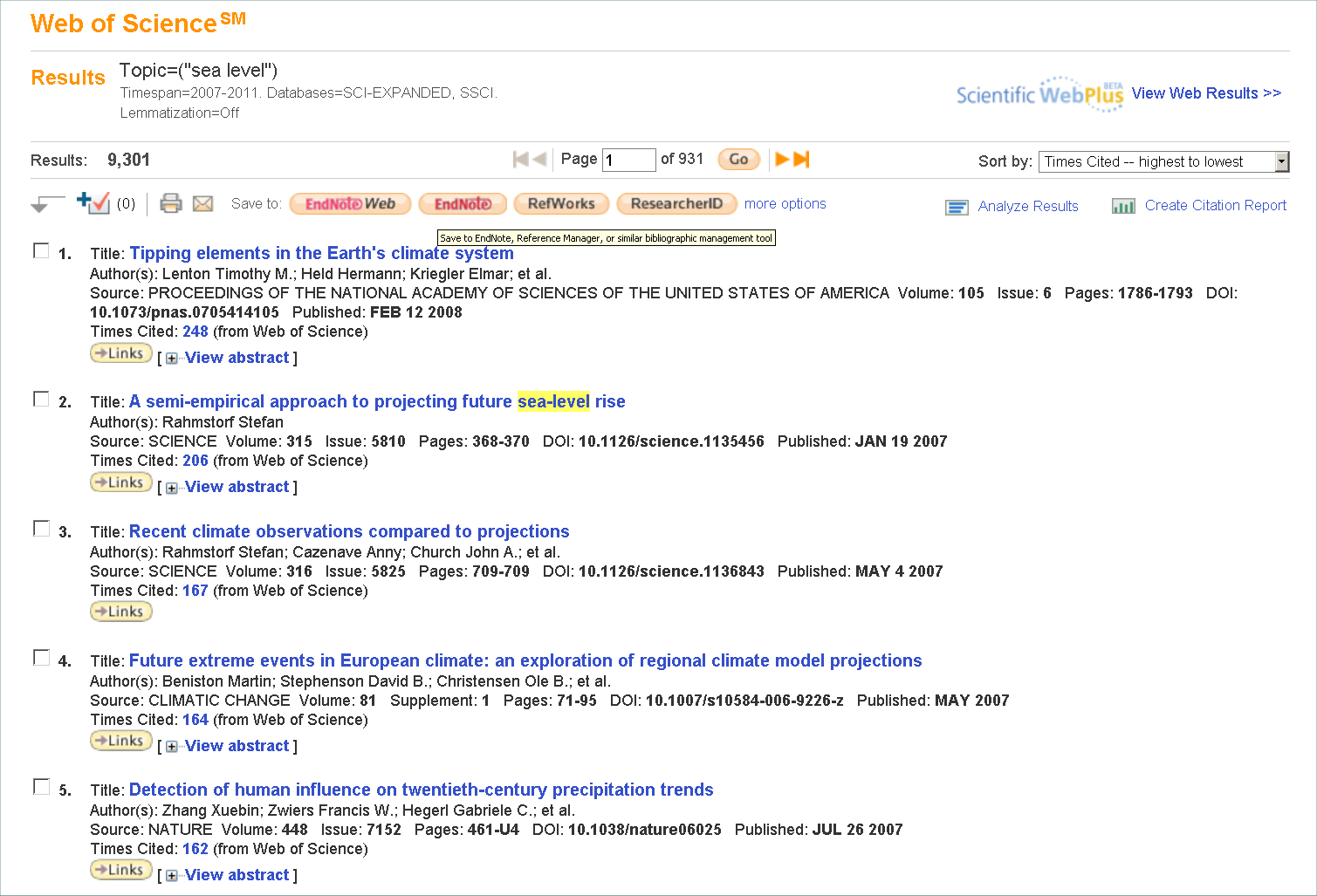
Worldwide cooperation and recognition Oceans and climate know no national frontiers. Hence we cooperate with leading sea level researchers from around the world, for example in joint studies published with Anny Cazenave (CNES, France), John Church (CSIRO, Australia), Ben Horton (Univ. of Pennsylvania) and Bob Nicholls (Univ. of Southampton). Our publications are amongst the most-cited in the community: out of the over 9,000 sea level studies published in the past five years, our papers rank #1, #2 and #3 (*). Broadly based assessments have endorsed our projections, e.g. the Antarctic Science Report, the Copenhagen Diagnosis, the Arctic Report of AMAP and the 2012 World Bank Climate Report. A number of states uses our semi-empirical method in coastal planning, e.g. the Netherlands and the US states California and North Carolina, and our results have entered the recommendations of the US Army Corps of Engineers. The unique DIVA model is used in a number of global and continental-scale studies, e.g. Economics of Adaptation to Climate Change (World Bank, 2010) and the state of environment report of the European Environment Agency. Prof. Levermann was appointed lead author of the sea level chapter of the IPCC. Prof. Rahmstorf served in the Delta Commission of the Dutch government. Graphs from our work are used e.g. by the US government and in the Garnaut-Review for the Australian government. Media interest is likewise high: BBC and CNN reported in their TV news broadcasts about our research, the weekly magazine of the british Financial Times in 2009 had a cover portrait of Prof. Rahmstorf as "Mr sea level rise", and the New York Times prominently presented our results in a major cover story on sea level rise. (*) According to a search of the publications data base ISI Web of Science for the term "sea level" since publication year 2007. Search conducted on 21 November 2011. |
Publications Images Animations Data & Code |
| © PIK |