| Title:
| Corine Land Cover 2000 Raster 250m
|
| Entry ID:
| 80
|
| Type:
| various
|
|
| Summary:
| European Land Use Raster map 2000 with 44 different land use codes
|
|
| GLOWA partner:
| Potsdam-Institut fuer Klimafolgenforschung (PIK)
|
| Contact person:
| Hauf, Ylva
|
| Access:
| GLOWA-Elbe only
|
| Originator:
| European Environment Agency
|
|
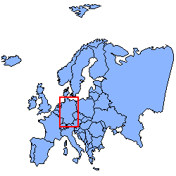
| Location:
| Germany
| 
|
| North:
| 55.057°
|
| South:
| 47.275°
|
| West:
| 5.864°
|
| East:
| 15.04°
|
|
| Spatial resolution:
| unknown
|
| Temporal resolution:
| unknown
|
|
| Begin year:
| unknown
|
| End year:
| unknown
|
|
| Size:
| unknown
| Media:
| unknown
|
| Format:
| ARC
| Media info 1:
| unknown
|
| Unit:
| unknown
| Media info 2:
| unknown
|
|
| This entry was last updated at: 2006-06-15
|
|
| This page was automatically generated out of the GLOWA-Elbe Meta Database
|
| Fri May 04 14:51:45 CEST 2007
|
|