| Title:
| ATKIS-Datensatz: Stand- und Flieþgew‰sser M-V, BRB
|
| Entry ID:
| 47
|
| Type:
| various
|
|
| Summary:
| ATKIS (AmtlichesTopografisch-Kartografisches InformationsSystem)-Datensatz: Stand- und Flieþgew‰sser f¸r Brandenburg und Mecklenburg-Vorpommern
|
|
| GLOWA partner:
| Leibniz-Zentrum fuer Agrarlandschaftsforschung e.V. Muencheberg (ZALF)
|
| Contact person:
| Dietrich, Ottfried
|
| Access:
| GLOWA partner only
|
| Originator:
| Bundesamt fuer Kartographie und Geodaesie, Frankfurt/Main
|
|
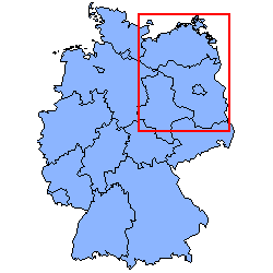
| Location:
| M-V und BRB
| 
|
| North:
| 54.71∞
|
| South:
| 51.35∞
|
| West:
| 10.58∞
|
| East:
| 14.74∞
|
|
| Spatial resolution:
| unknown
|
| Temporal resolution:
| unknown
|
|
| Begin year:
| unknown
|
| End year:
| unknown
|
|
| Size:
| unknown
| Media:
| unknown
|
| Format:
| ARC
| Media info 1:
| unknown
|
| Unit:
| unknown
| Media info 2:
| unknown
|
|
| This entry was last updated at: 2005-09-01
|
|
| This page was automatically generated out of the GLOWA-Elbe Meta Database
|
| Fri May 04 14:51:38 CEST 2007
|
|